Types of technologies used in the ASAP project
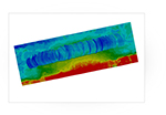
Sends out an acoustic pulse and captures a return signal to measure the depths of oceans, seas or other large bodies of water. The data is used to compile a topographic map and image of the seafloor, archaeological resources and benthic habitat potential.
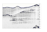
Towed just above seafloor, emits a chirping sound, and the return signal is collected as reflected and refracted sound through different layers of sediment. Operates between 500 Hz ─ 24 kHz. Pulse lasts
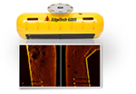
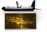
Data from acoustic backscatter creates a 2-dimensional image of the seafloor, archaeological resources, benthic habitat potential, and relic landscapes. Operates on a surface tow > 180– 900 kHz. Frequency above hearing range of cetaceans, manatees, seals, sea turtles, and most fish. Pulse lasts
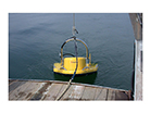
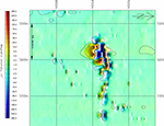
Measures the magnetic field to detect archaeological resources and potential hazards, including Munitions and Explosives of Concern (MEC), also known as unexploded ordnance (UXO). Map indicates UXO off Hawaii. Images courtesy of Geometrics.


