

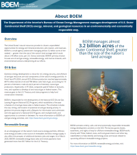
| The Department of the Interior’s Bureau of Ocean Energy Management manages development |
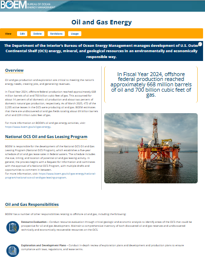
| Oil and gas production and exploration are critical to meeting the nation’s energy needs, creating jobs, and generating revenues. |
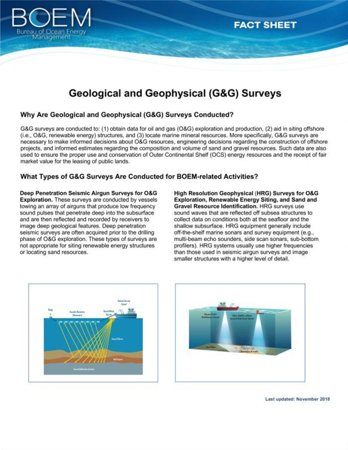
| Geological and Geophysical (G&G) Surveys G&G surveys are conducted to: (1) obtain data for oil and gas (O&G) exploration and production, (2) aid in siting offshore (i.e., O&G, renewable energy) structures, and (3) locate marine mineral resources. More specifically, G&G surveys are necessary to make informed decisions about O&G resources, engineering decisions regarding the construction of offshore projects, and informed estimates regarding the composition and volume of sand and gravel resources. |
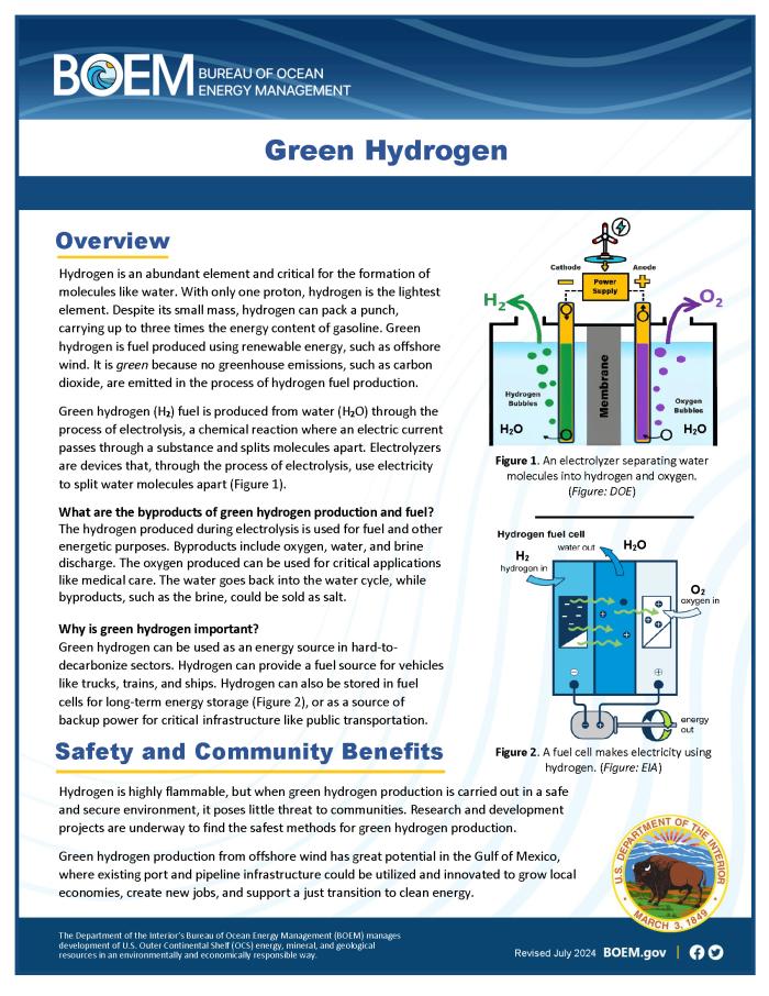
| Hydrogen is an abundant element and critical for the formation of molecules like water. With only one proton, hydrogen is the lightest element. Despite its small mass, hydrogen can pack a punch, carrying up to three times the energy content of gasoline. Green hydrogen is fuel produced using renewable energy, such as offshore wind. It is green because no greenhouse emissions, such as carbon dioxide, are emitted in the process of hydrogen fuel production. |
| Green Hydrogen Poster |
| Offshore Wind Development and Whales At BOEM, environmental protection – informed by the best available science and law – is a priority and an indispensable consideration in our decision making. Before any activities related to offshore wind development take place, BOEM requires companies to follow strict protective measures, including those to avoid, minimize, or mitigate any potential impacts from our regulated offshore energy activities. |
| The Renewable Energy Process: Leasing to Operations For any proposed OCS development, BOEM evaluates the potential impacts on ocean users, historic and cultural resources and the marine environment. BOEM uses a multi-phased process to grant access to ocean areas that are suitable for wind energy development that consists of the following phases: Planning and Analysis, Leasing, Site Assessment and Construction and Operations. |
| BOEM ensures that environmental protection—informed by the best available science and law—is a foremost concern and an indispensable consideration in BOEM’s decision making. |
| Managing Impacts of Human-generated Noise on Marine Life Through research and environmental reviews, BOEM plays a key role in improving the overall scientific understanding of the potential effects of anthropogenic, or human-generated, sound on marine life. This fact sheet describes BOEM’s adaptive management approach to developing and applying science for decisions on sound.. |
|
| Offshore Wind Development and Whales At BOEM, environmental protection – informed by the best available science and law – is a priority and an indispensable consideration in our decision making. Before any activities related to offshore wind development take place, BOEM requires companies to follow strict protective measures, including those to avoid, minimize, or mitigate any potential impacts from our regulated offshore energy activities. |
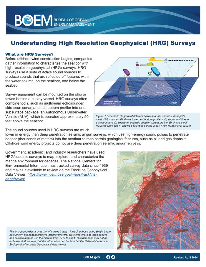
| Understanding High Resolution Geophysical (HRG) Surveys Before offshore wind construction begins, companies gather information to characterize the seafloor with high-resolution geophysical (HRG) surveys. HRG surveys use a suite of active sound sources to produce sounds that are reflected off features within the water column, on the seafloor, and below the seabed. |
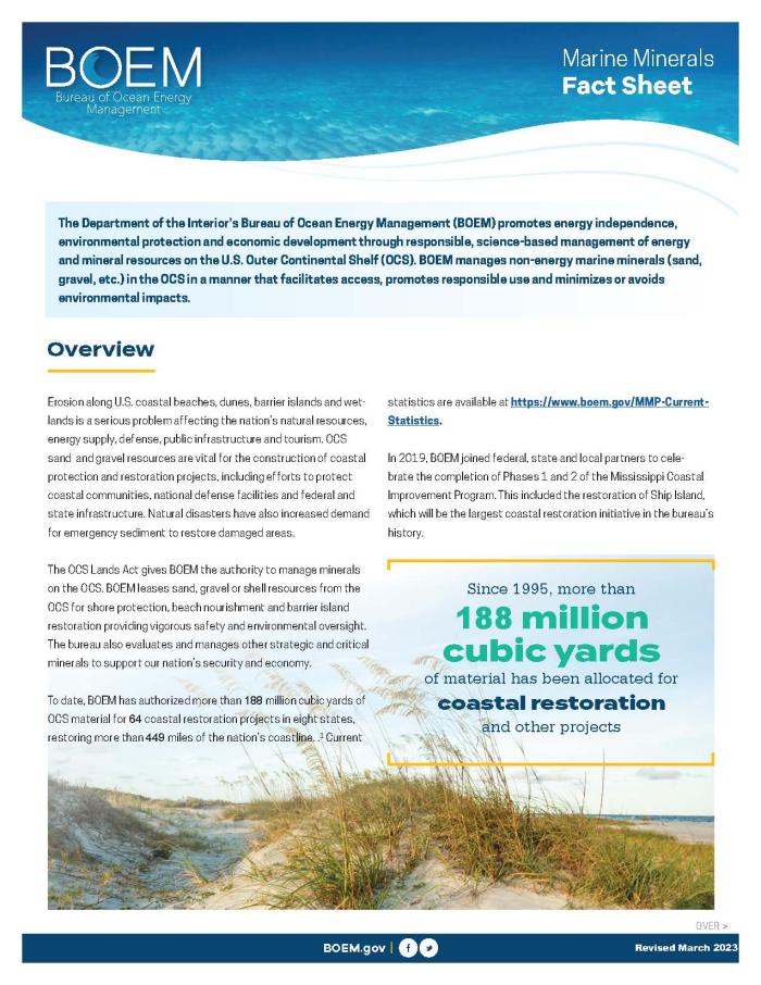
| BOEM manages non-energy marine minerals (sand, gravel, etc.) in the OCS in a manner that facilitates access, promotes responsible use, and minimizes or avoids environmental impacts. |
| Marine Minerals Program - Fast Facts BOEM’s Marine Minerals Program is the sole federal program responsible for leasing non-energy resources (primarily sand and gravel) from the OCS, most often used in beach nourishment and coastal restoration projects. The bureau invests in applied environmental research to ensure that the removal of any mineral resource is done in a safe and environmentally sound manner. |
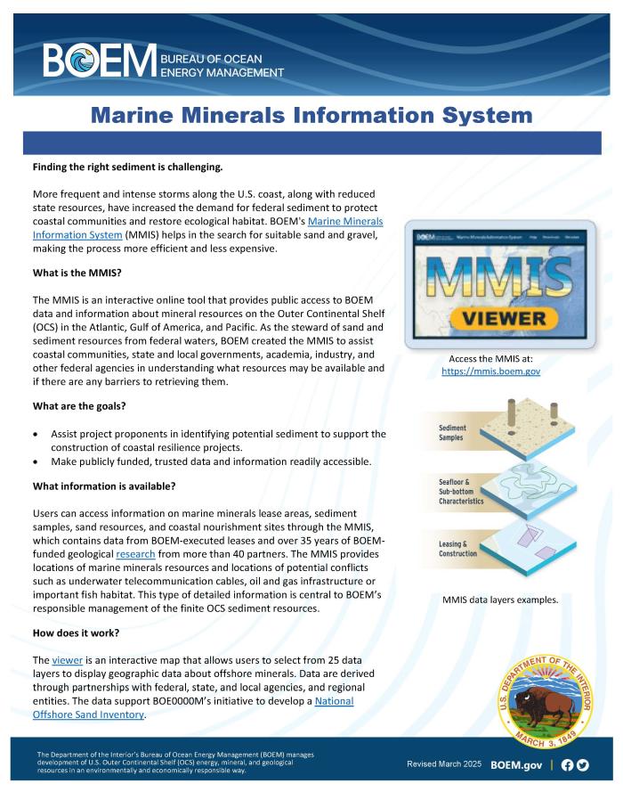
| Marine Minerals Information System (MMIS) The MMIS is an interactive online tool that provides public access to BOEM data and information about mineral resources on the Outer Continental Shelf (OCS) in the Atlantic, Gulf of America, and Pacific. |
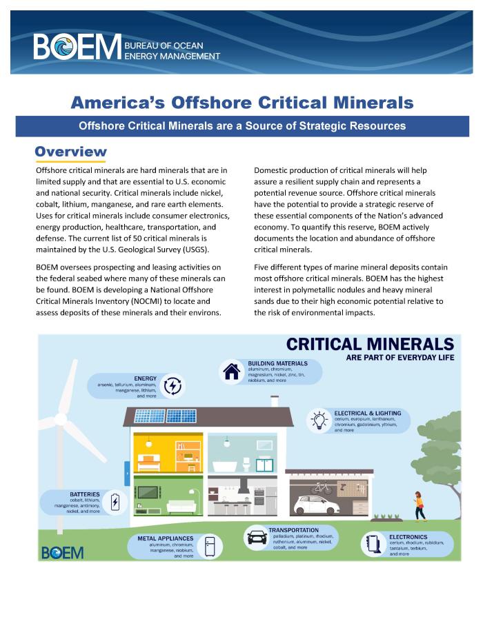
| The U.S. has potential offshore critical minerals to supply our strategic need, but they are currently an underexplored and untapped resource. |