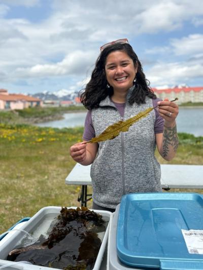
By Dr. Christina Bonsell
Marine Ecologist
BOEM Alaska OCS Region
This summer, I’m traveling to one of the most remote and least understood corners of the ocean seafloor.
From June 15 to July 2, I’ll be aboard the research vessel Atlantis, sailing west from the Alaska Peninsula into the Aleutian Arc. This volcanic island chain stretches deep into the North Pacific. Above the water, it’s known for its windswept cliffs and active geology.
But beneath the surface? It’s practically a blank map.
Despite covering more than 1 million square kilometers, only about 38 percent of Alaska’s seafloor has been mapped as of early 2025. Even less has been scientifically explored.
That’s where our expedition comes in.
Our project, The Aleutian Arc: Integrated Exploration of Biodiversity at Priority Benthic Habitats, led by Dr. Amanda Demopoulos of the U.S. Geological Survey, is going where few have ever gone before. Using the human-occupied submersible Alvin, we’ll dive thousands of meters below the surface to explore seafloor ecosystems shaped by volcanic activity, mineral seeps, and possibly hydrothermal vents.
Why go to all this trouble? Because what’s down there matters.
The habitats we’re studying—coral and sponge gardens, gas seeps, volcanic slopes—are more than just visually spectacles. They’re biologically and geologically invaluable. These deep-sea communities help us understand everything from natural hazard risks to the presence of critical minerals. And for those of us at the Bureau of Ocean Energy Management, these insights are key to making informed decisions about potential offshore energy and mineral activity.
As a marine ecologist, I’m excited to study the life forms that thrive in these extreme environments. This includes deep-sea corals to chemosynthetic organisms that depend on chemicals instead of sunlight to survive. We will collect biological samples, high-resolution seafloor maps, and video footage, helping fill major knowledge gaps in Alaska’s offshore ecosystem.
And we won’t be doing it alone.
This expedition is a collaboration between BOEM, USGS, NOAA Ocean Exploration, the Office of Naval Research, and NOAA Integrated Ocean and Coastal Mapping. We’re combining tools, expertise, and funding to make this deep dive possible. NOAA will publish maps, imagery, and a full expedition summary at oceanexplorer.noaa.gov following the cruise.
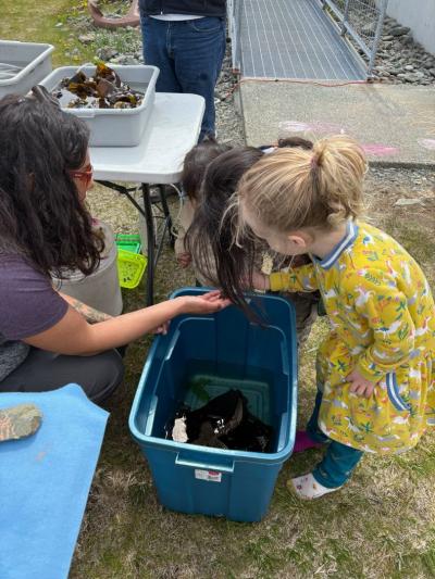
The data we collect is important. And so is the connection we build with local communities. While we’re in port, we’ll host ship tours, a community talk, and an Ocean Discovery Day for students, creating opportunities to share why ocean exploration matters for science and for Alaskans.
There are few chances in a career to help chart a part of the planet that remains largely unknown. I’m proud to represent BOEM on this expedition and I can’t wait to share what we discover.
-- BOEM --
The Department of the Interior’s Bureau of Ocean Energy Management (BOEM) manages development of U.S. Outer Continental Shelf (OCS) energy, mineral, and geological resources in an environmentally and economically responsible way.


