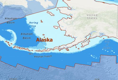
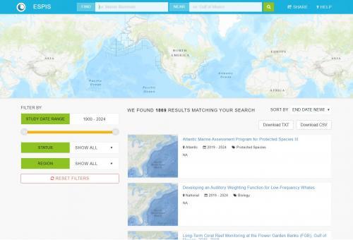
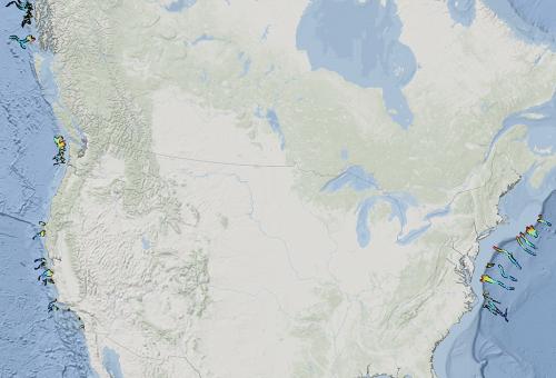
BOEM’s Office of Environmental Programs (OEP) assesses resource information for over 3.2 billion acres of Federal waters, encompassing energy resources (conventional oil and gas and wind) and vast mineral deposits, including valuable sand and gravel and other seabed minerals. Maps and other spatial visualization tools help BOEM scientists consider geographic data and information (e.g., location and distance) to effectively conduct thorough, timely, and effective environmental assessments. For example, integrating whale sighting locations and distances from industry infrastructure into a map of other natural resources makes it easier for scientists to perform accurate impact analyses, recommend effective mitigations, and present this information to decision makers.
Hero Image
