
Geographic Information System (GIS) Data and Maps
The Mapping & Boundary Branch performs mathematical offshore boundary location computations and prepares Official Protraction Diagrams (OPDs), and Supplemental Official OCS Block Diagrams (SOBDs) depicting OCS Block information, the Submerged Lands Act Boundary (aka - State Seaward Boundary), Limit of "8(g) Zone", the Continental Shelf Boundary (CSB), which marks the limit of U.S. jurisdiction for offshore mineral development, and corresponding area measurements. The analytical procedures employed and the computer programs utilized to perform various offshore boundary geometric computations are described in OCS Report MMS 99-0006.
OPD Images
A standard OPD is 1 degree in latitude by 2 degrees in longitude (at lower latitudes: 0 - 48 degrees). At higher latitudes (48 - 75 degrees) such as Alaska and northern Washington, OPDs are 3 degrees wide. OPD limits usually approximate the standard 1:250,000 scale U.S. Geological Survey topographic map series. The OPDs are numbered using the United Nations International Map of the World Numbering System. OPD names usually coincide with standard topographic sheet names when diagrams include land areas. OPD sheet names relate to land features, or to hydrographic features contained within the limits of the diagram. Shoreline planimetric detail is shown when it falls within the limits of a diagram. Older OPDs were prepared on mylar with manual cartographic methods and then scanned into Adobe .pdf files. Newer OPDs were prepared electronically and converted to Adobe .pdf files.
NOTE: OPDs offshore of Oregon and Washington that show the Submerged Lands Act and Section 8(g) Zone boundaries do not reflect post-2010 shoreline changes. The Submerged Lands Act and 8(g) Zone boundaries offshore of California were permanently immobilized by the U.S. Supreme Court on December 15, 2014.
SOBD Images
A Supplemental Official OCS Block Diagram (SOBD) is prepared for each block intersected by an offshore boundary (Submerged Lands Act Boundary, Limit of "8(g) Zone", National Marine Sanctuaries, etc.). Note that not all OPDs contain such boundaries, therefore not all OPDs have SOBDs associated with them. All the SOBDs for a given OPD are zipped into a single file for downloading. The zip files will contain the most recent version, but older historic versions may also be included for reference. For the purpose of future Lease Sales always be sure to use the most recent version.
NOTE: SOBDs offshore of Oregon and Washington do not reflect post-2010 shoreline changes. The Submerged Lands Act and 8(g) Zone boundaries offshore of California were permanently immobilized by the U.S. Supreme Court on December 15, 2014.
CBD Images
Composite Block Diagrams (CBDs) show NAD 27 lease information portrayed on the NAD 83 cadastre. Not all OPDs have CBDs associated with them.
Image File Formats
The most current approved revision for each Pacific Region OPD and SOBD may be viewed and downloaded from the list below. OPDs are offered in Adobe (.pdf) format. SOBDs are available as Adobe (.pdf) files that have been compressed with WINZIP.
GIS Files
The various boundaries are also offered as ESRI ArcGIS shapefiles. Shapefiles can be viewed with the free ArcGIS Explorer viewer, ArcGIS, or a variety of other GIS systems. The shape files have been zipped using WinZip.
Note: The precise coordinates of a GIS file can be altered slightly by various GIS functions. For that reason, these GIS files are not an Official Record for BOEM offshore boundaries. Only the coordinates shown on Official OPDs, CBDs, and SOBDs constitute an Official Record for offshore coordinate values.
All coordinates are in NAD 83. Pacific Region leases and cadastre data from before 1994 were mapped using the North American Datum of 1927 (NAD 27). These new NAD 83 files do not represent a conversion, but rather a complete re-grid. For further details, see Project Plan for Implementing NAD 83 in the Bureau of Ocean Energy Management:
- Part I: Responsibilities and Timeframes
- Part II: Technical Aspects of Implementation
- Summary Status Report
Planning Area Acreage Statistics
Planning Area Descriptions (01/2002)
Pacific Region GIS Coverages | |||
File Description | Zipped Download | Metadata Link | Graphic |
| West Coast Canopy Forming Kelp - These data include the general extents of canopy-forming kelp surveys from 1989 to 2014 and a compilation of existing data sets delineating canopy-forming kelp beds along the coasts of Washington, Oregon, and California. | WestCoastCanopyFormingKelp.zip Updated 2/8/2016 | metadata | browse-graphic |
| Active Leases | pac_lease.zip Updated 06/05/2014 | metadata | browse-graphic |
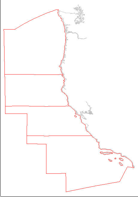
| Pacific Planning Area Outlines. | PC_PLANAREA.zip Updated 02/10/06 | metadata | browse-graphic |
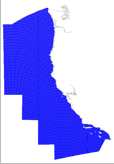
| Standard OCS Blocks clipped to the Submerged Lands Act (SLA) boundary on the shoreward side (2304 hectares per standard block). | PC_BLK_CLIP.zip Updated 02/10/06 | metadata | browse-graphic |
| OCS Block 1/16 Aliquot Parts (144 hectares per standard block) | Updated 04/02/13 | metadata | browse-graphic |
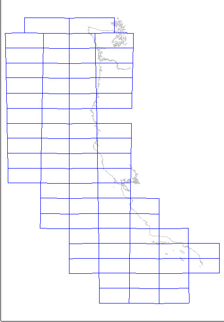
| Official Protraction Diagram (OPD) outlines. | PC_PROTLMT Updated 01/30/04 | metadata | browse-graphic |
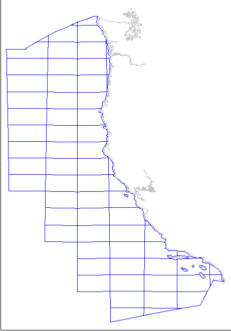
| Official Protraction Diagram (OPD) outlines, clipped to the Submerged Lands Act (SLA) Boundary. | PC_PROT_CLIP.zip Updated 02/10/06 | metadata | browse-graphic |
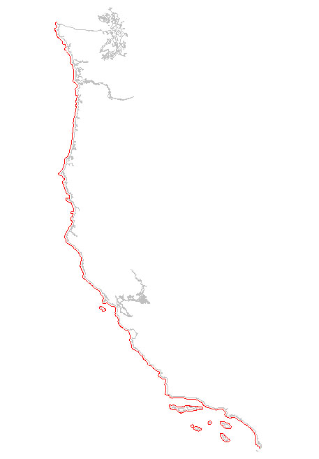
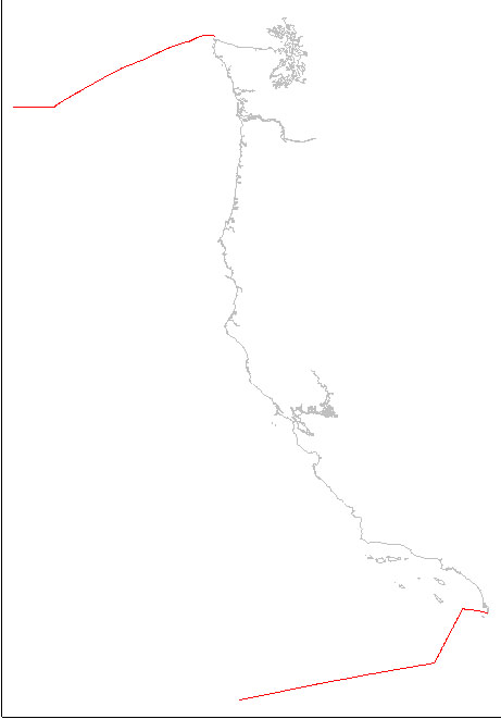
| The SLA line marks Federal vs. State jurisdiction for Submerged Lands Act purposes. | PC_FEDSTATE.ZIP Updated 02/10/06 | metadata | browse-graphic |
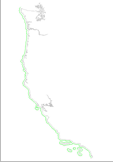
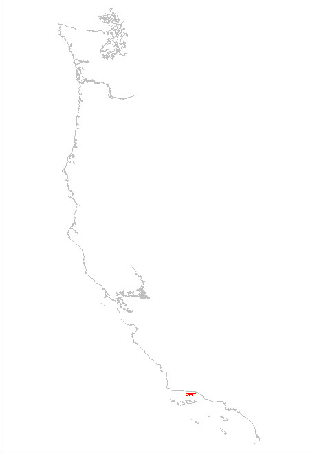
| Limit of '8(g)' Zone lies 3 nautical miles seaward of the SLA Boundary. See detailed metadata. | PC_LINE_8g.zip Updated 02/10/06 | metadata | browse-graphic |
| Coast line points (along with coast line tangent file) to project the boundaries shown on existing/published OPDs. | PCBSLNPT.ZIP Updated 7/19/12 | metadata | browse-graphic |
| Coast line tangents (primarily Bay Closing Lines) used along with coast line points to project the boundaries shown on existing/published OPDs. | PCBSLNTN.ZIP Updated 7/19/12 | metadata | browse-graphic |
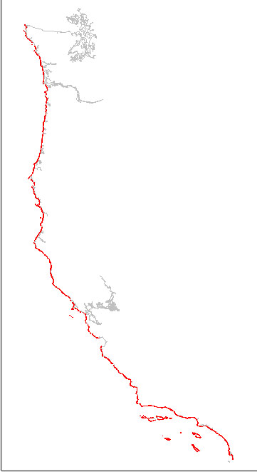
| Continental Shelf Boundary (CSB) - the limit of U.S. jurisdiction for offshore mineral development. | csb.zip Updated 01/30/04 | metadata | browse-graphic |
| Ecological Preserve. | PC_ECO.ZIP Updated 06/24/02 | metadata | browse-graphic |
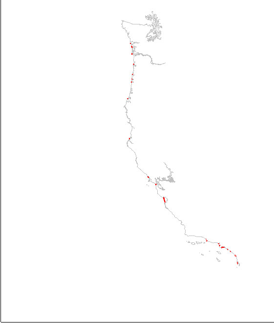
| Offshore oil and gas pipelines. | pc_pipe.zip Updated 06/06/14 | metadata | browse-graphic |
| Offshore oil and gas drilling platforms. | pc_plat.zip Updated 08/24/11 | metadata | browse-graphic |
| Offshore oil and gas wells | Updated 05/29/2012 | metadata | browse-graphic (coming soon) |
| BOEM 2019-2024 Draft Proposed Program Area - Pacific Region | pac_5yr_2019_2024.zip | metadata | No Graphic |